

Every seven years, it emerged from the mist. The isle of “Hy-Brasil,” aka the ancient Irish Atlantis bound to the whims of the sea, revered by locals as the home of their pagan gods, or else, as the outpost of a lone magician and his castle – the rumour mill never stopped churning. Nor did the island’s sightings, despite centuries of technological advances. In fact, studies to find the island have gone down as recently as 2007, which had us wondering if this phantom island has truly been spoken for…

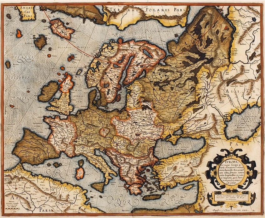
Firstly, the name – not to be confused with the South American country – stems from the Irish Uí Breasail, meaning “the descendants of Bresail”, one of the country’s grandest clans, and bres, which roughly translates to a “mighty beauty” in Irish. Since about the 14th century, folks have positioned it roughly 321 km (200 miles) to the west of Ireland. See it plopped right under the big old “EVROPAE” below?
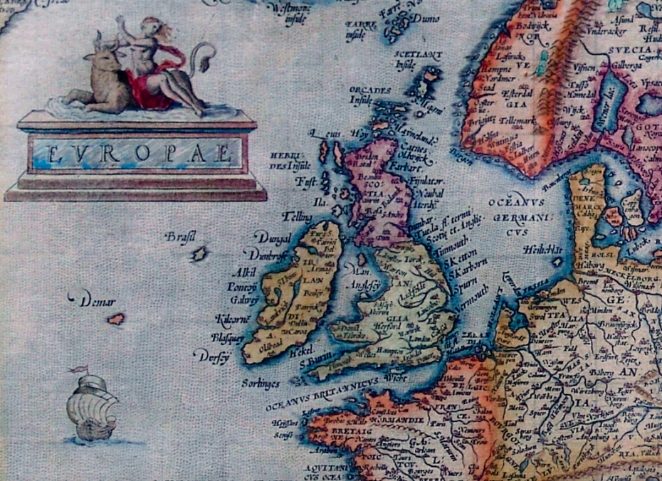
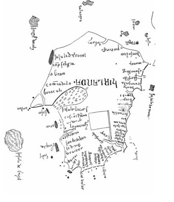
The legend of the Hy-Brasil eventually traveled outside Ireland, and began popping up on maps belonging to explorers with really primo explorer names, like Angelino Dulcert, Abraham Ortelius, Gerardus Mercator – the list goes on. The point is, this went on for another five centuries, on over 300 nautical charts. Everyone who was anyone walking talking Hy-Brasil. In the words of Shakira, the maps don’t lie:
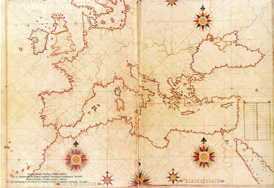
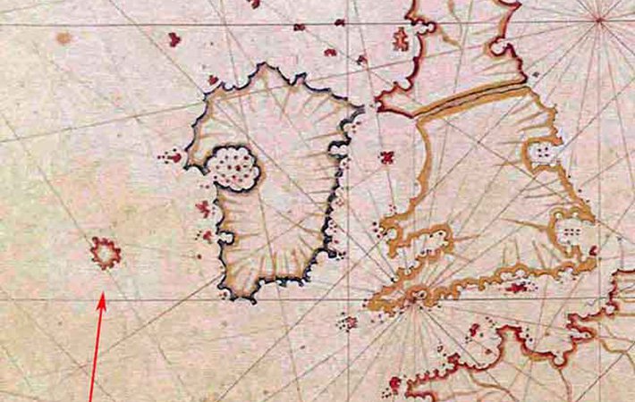
Three 15th century expeditions set out to find it (alas, to no avail), and the ye olde Italian explorer John Cabot also casually name drops the island in his letters from sea, writing of his broaching a terrain that was also “discovered in the past by the men from Bristol who found [Hy-Brasil].” But again, they were merely breadcrumbs to the truth, if not outright lying.
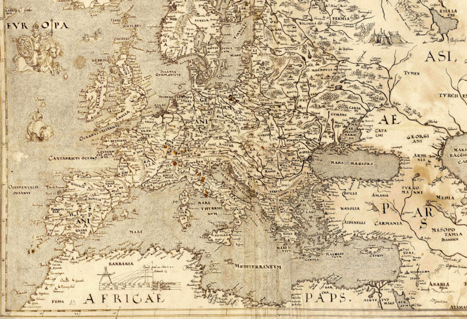
In 1674, however, a guy name Captain Nisbet not only said he had found the island on a trip from France to Ireland, but that he’d met its inhabitants: a solitary magician in a castle and a bunch of massive, black rabbits. Fair fodder for a Monty Python plot, sure, but it isn’t as far fetched as it seems…
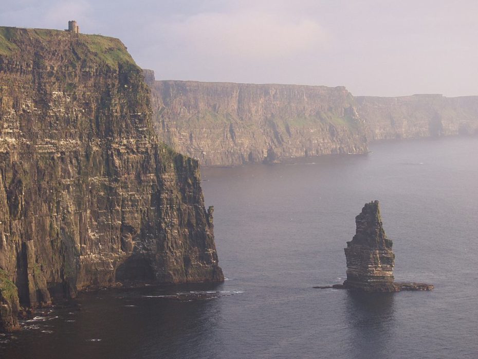
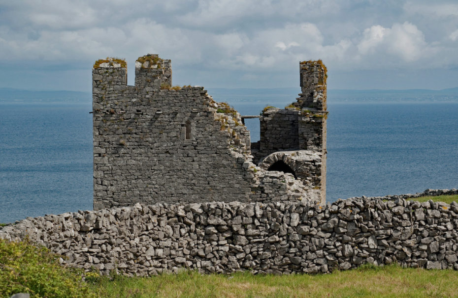
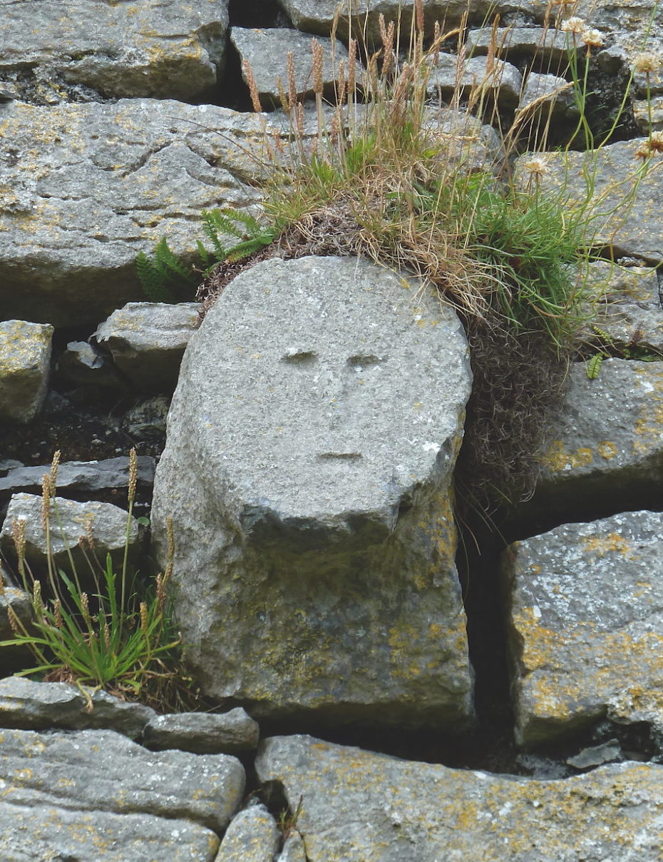
There are many often inaccessible, and thus mysterious islands off the coast of Ireland. Consider the Aran Islands to the west of Galway, inhabited since 7,000 BC and left relatively untouched. The isle of Inishmeer has numerous Hy-Brasil worthy spots, from cliff-side towers to 14th century castles whose stones look like ancient faces frozen in time…
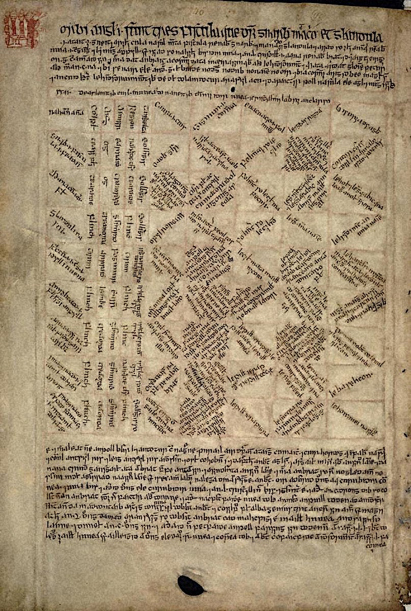
The Royal Irish Academy (RIA), one of the leading experts in the Sciences and Humanities of Ireland, says that in the 17th century, a member of the prominent O’Lee family “told a ‘wild story’ of his having been magically transported to the enchanted Island of Hy-Brasil and obtaining supernatural knowledge of medical cures there that were recorded in this book.” Not only is that book real, but it’s contents convinced many, says the RIA, of “the validity of this story.”
There’s is a truly enchanting foundation to Hy-Brasil, which is why explorers have been so insatiable on their quest to find it. This isn’t just an island. It’s the Celtic Elysium. So it kept showing up on maps to the southwest of Galway Bay, usually as a circular island into the late 1800s, then known as “Brasil Rock.” In 1874, the Irish antiquarian, folklorist and amateur archaeologist T.J. Westropp (who illustrated map below) said he saw the island three times.
“Just as the sun went down, a dark island appeared far out to sea,” he wrote, “not on the horizon. It had two hills, one wooded; between these, on a low plain, rose towers and curls of smoke. My mother, brother, Ralph Hugh Westropp, and several friends saw it at the same time; one person cried that he could ‘see New York!’’
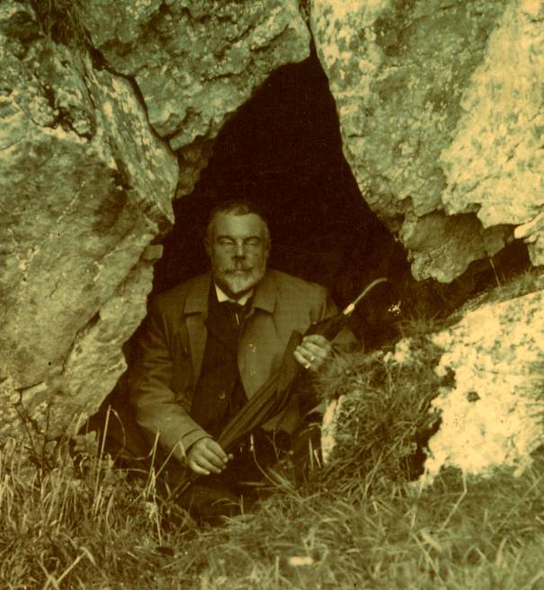
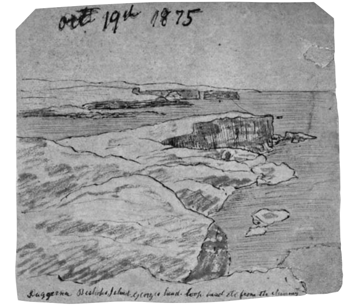
Sadly, Westropp’s sketches of the island have become something of a Holy Grail. The closest we’ve got to the drawings, which he completed as a boy, are his sketches done on the cliffs at Kilkee…
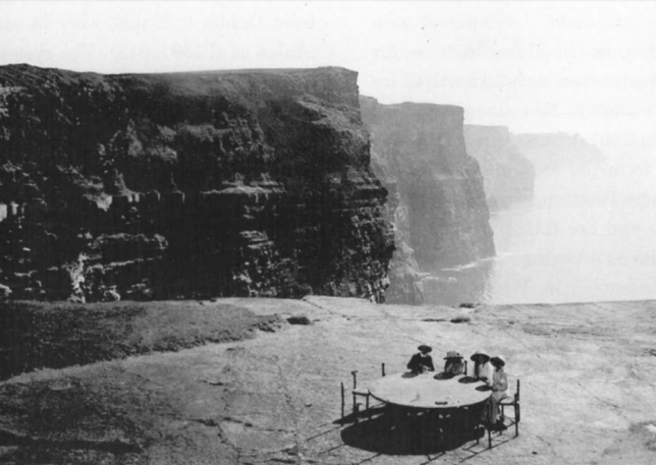
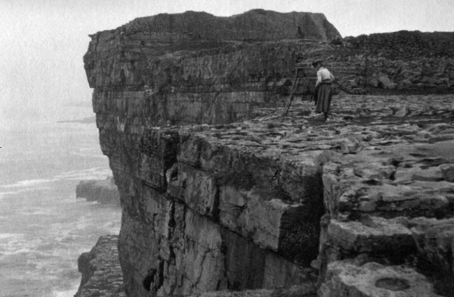
…and his photograph of a woman, unnamed, positioned on the misty cliffs of Dun Aengus to snap a photo in the direction of Hy-Brasil, should it choose to emerge from the mist.
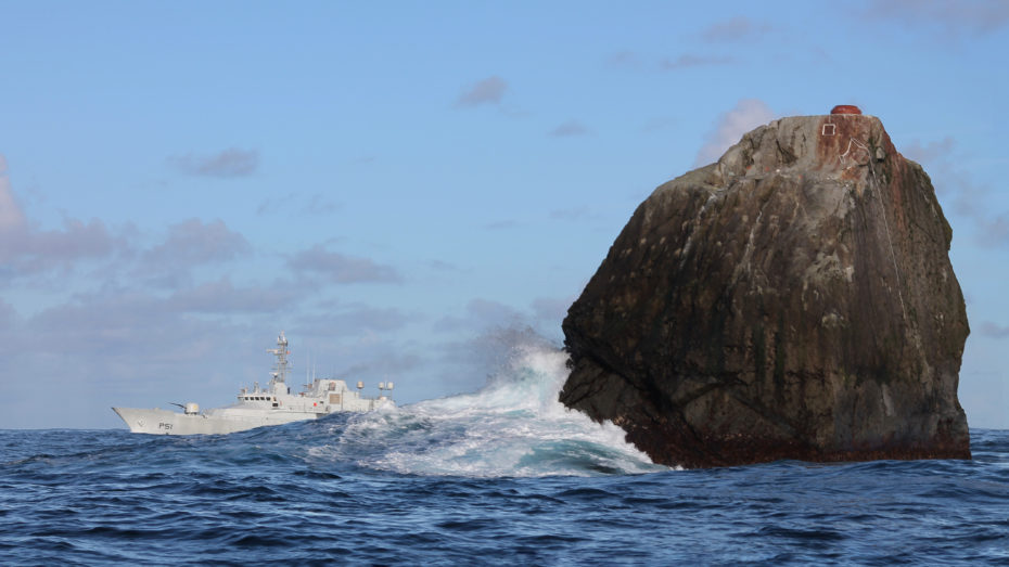
So what’s really going on here? In the 19th century, one geologist suggested that the nearby shoal of “Porcupine Bank,” a pristine strip of cold water reef, could be the site of the ancient sunken land. The Atlantic island of Rockall is also a suspect, and the subject of its own drama; no one can seem to decide if it should belong to the UK, Ireland, Iceland, or Denmark. But back to Hy-Brasil…
Given its talent for appearing out of thin air, Hy-Brasil could be something called a Fata Morgana…
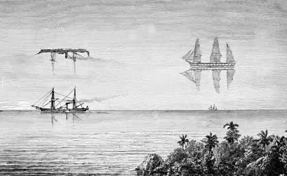
The term is shorthand for when several inverted and upright images are combined to create a “super mirage.” It earned the named Fata Morgana after Merlin’s enemy, the sorceress Morgan le Fay, and was seen as an extension of her witchcraft. Ever since, it’s been said that Fata Morganas lure sailors to their doom. It’s also at the root of legends about the Flying Dutchman and other ghost ships.
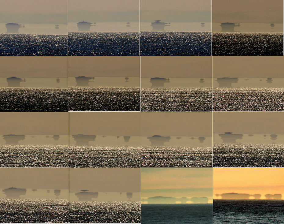
Still, as researcher Sean Lynch explains in his very juicy 2009 research piece on Hy-Brasil, islands we’ve been discovering island into the 1970s (ex. Canada’s Landstat island). We’ve also only just started to understand Zealandia, Earth’s hidden 8th continent. So is Hy-Brasil really so fantastic a notion?
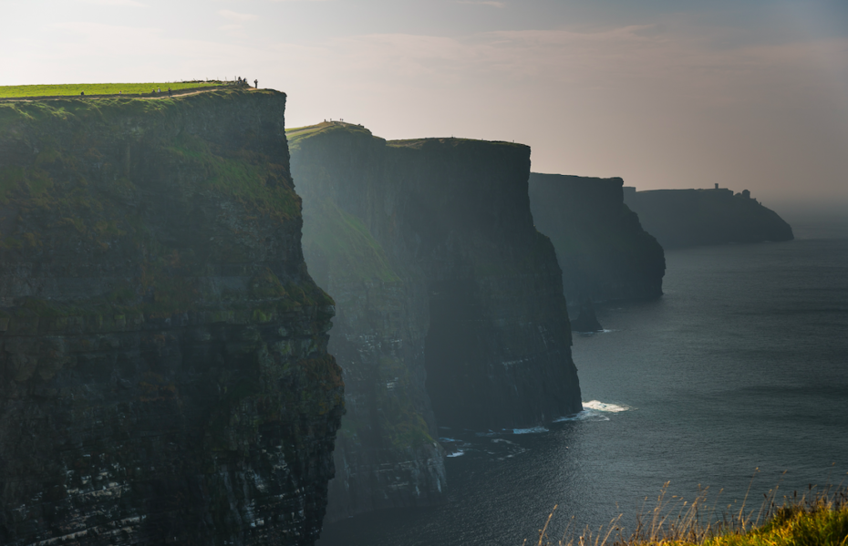
Lynch was determined to find Westropp’s fabled drawings. But “after unsuccessful attempts in numerous archives in spring 2007 to find [them],” he writes, “an expedition was enacted to find a substitute for this lost artefact. After reaching Dun Aengus, a camera was placed in the location of Westropp’s 1901 photograph, focusing on the horizon line of the Atlantic to the southwest of the cliffs. Each evening, as the sun set to the west, photographs were taken.” The results? Not exactly definitive, nor contrary, evidence for its existence. The details are all in Lynch’s article, which is very much worth the read. And in the meantime, the quest for Hy-Brasil continues…